Flooding
Flood-Prone Areas
View the City of Hendersonville Flood Planning Map to see areas that are likely to flood during large rain events.
Use this tool to avoid flood-prone areas and plan detour routes when traveling in inclement weather.
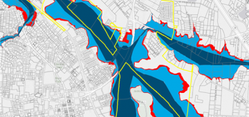
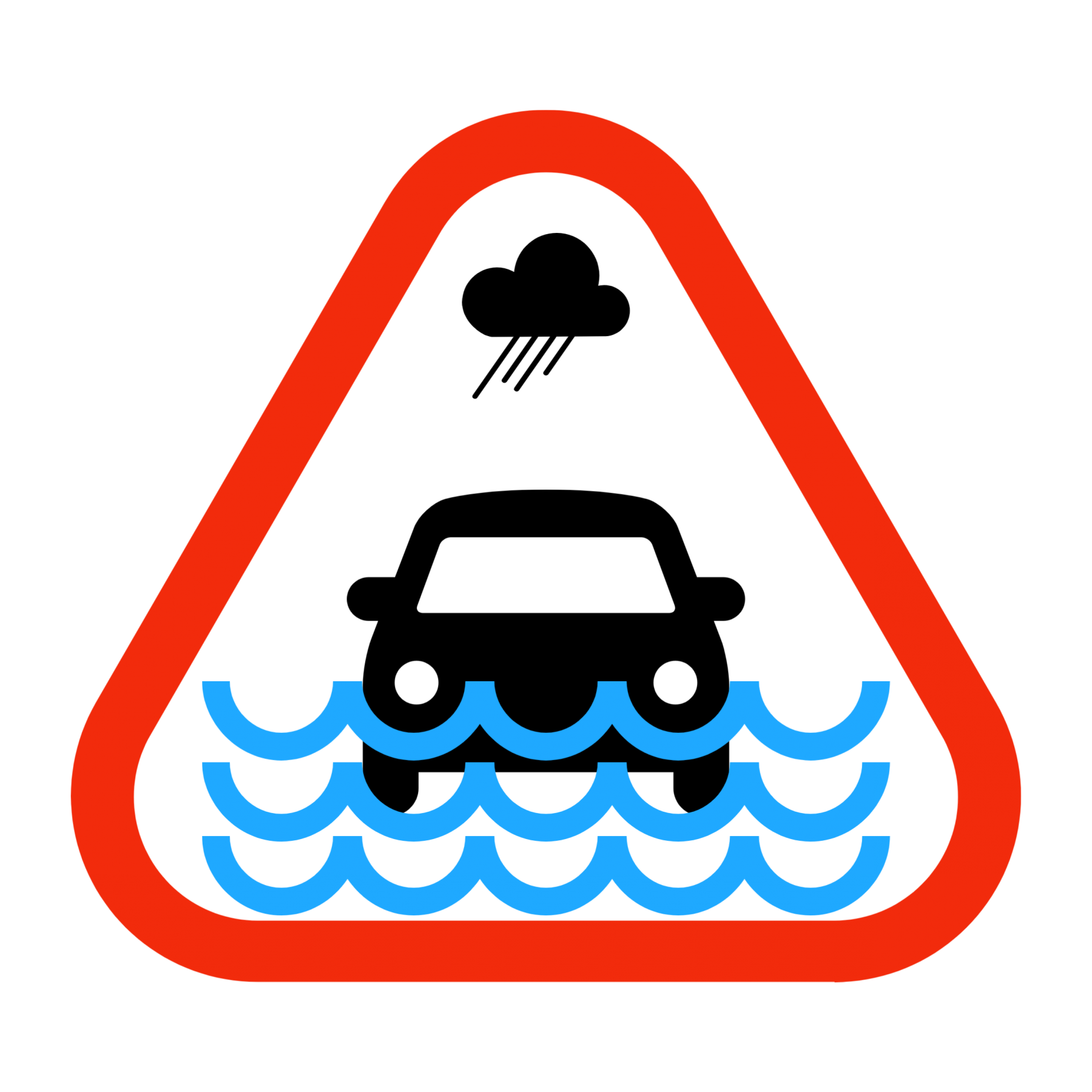
 The City of Hendersonville rests in a flood plain and large rain events greatly impact roadways throughout the City.
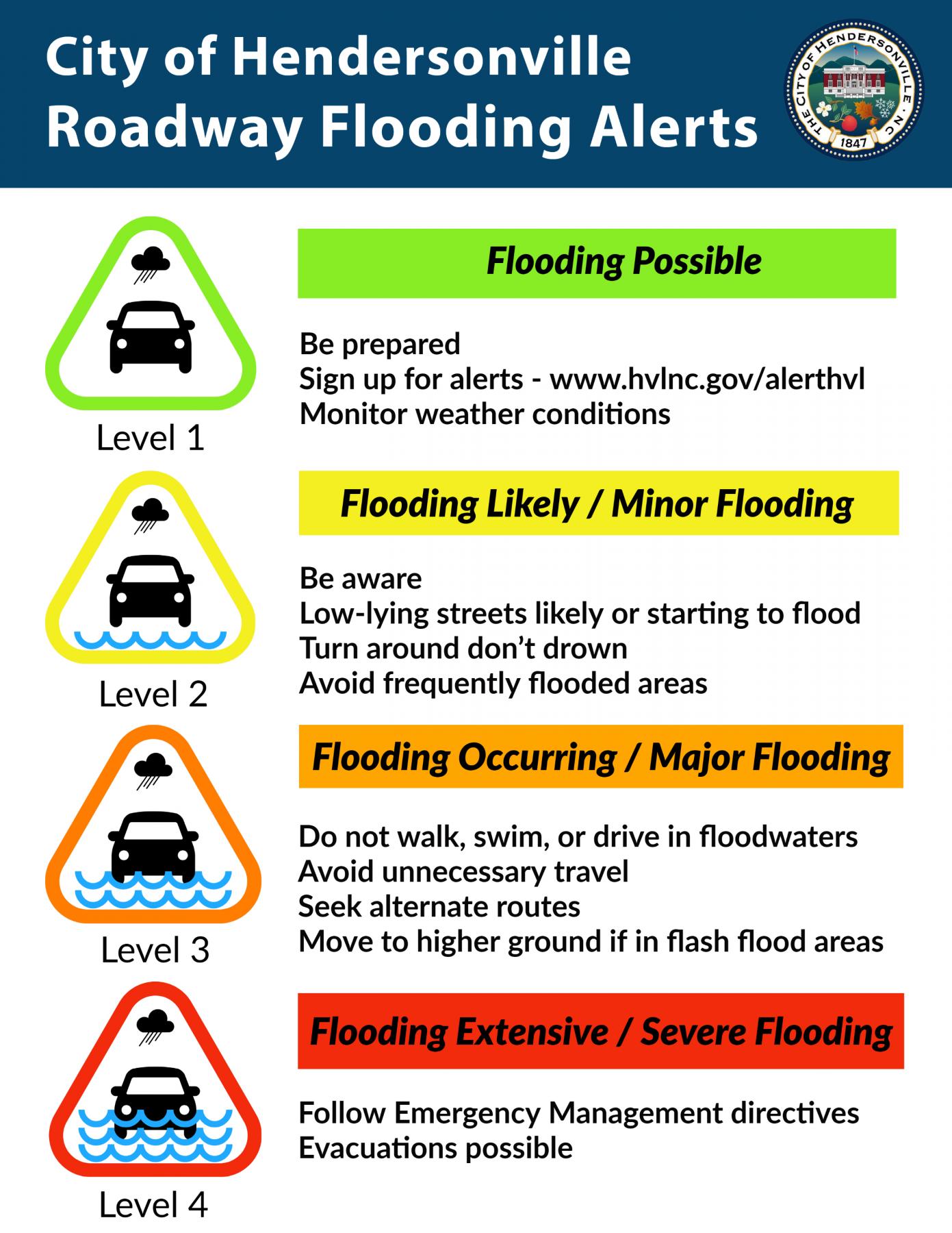
To increase the public's awareness of flood hazards and flooded roadways, the City has developed a notification plan for Roadway Flooding Alerts to complement National Weather Service messaging and NCDOT road closure information.
Our emergency responders and public works staff work hard to keep you safe.
NEVER drive into flooded roadways or around barricades.
Sign up to receive AlertHVL notifications from the City of Hendersonville.
- Choose what types of alerts your receive (public safety alerts, street closures, weather alerts, etc.)
- Select your delivery method (email, text, phone call)
- Enroll in Smart911 to save seconds during an emergency if you call 9-1-1
Level 1 - Flooding Possible
 Be prepared
Level 2 – Flooding Likely / Minor Flooding
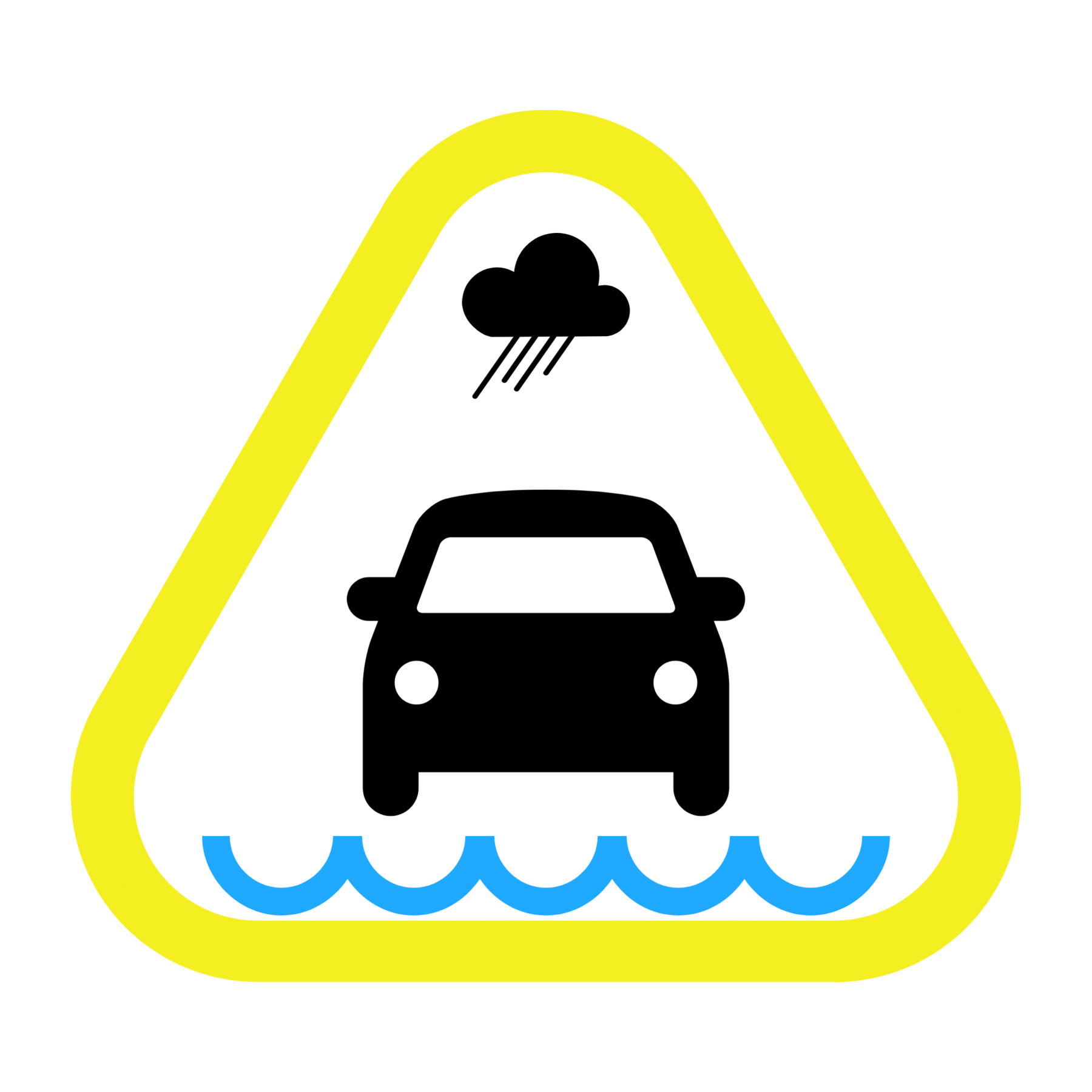 Be aware
Low-lying streets likely or starting to flood
Turn around don’t drown
Avoid frequently flooded areas
Level 3 – Flooding Occurring / Major Flooding
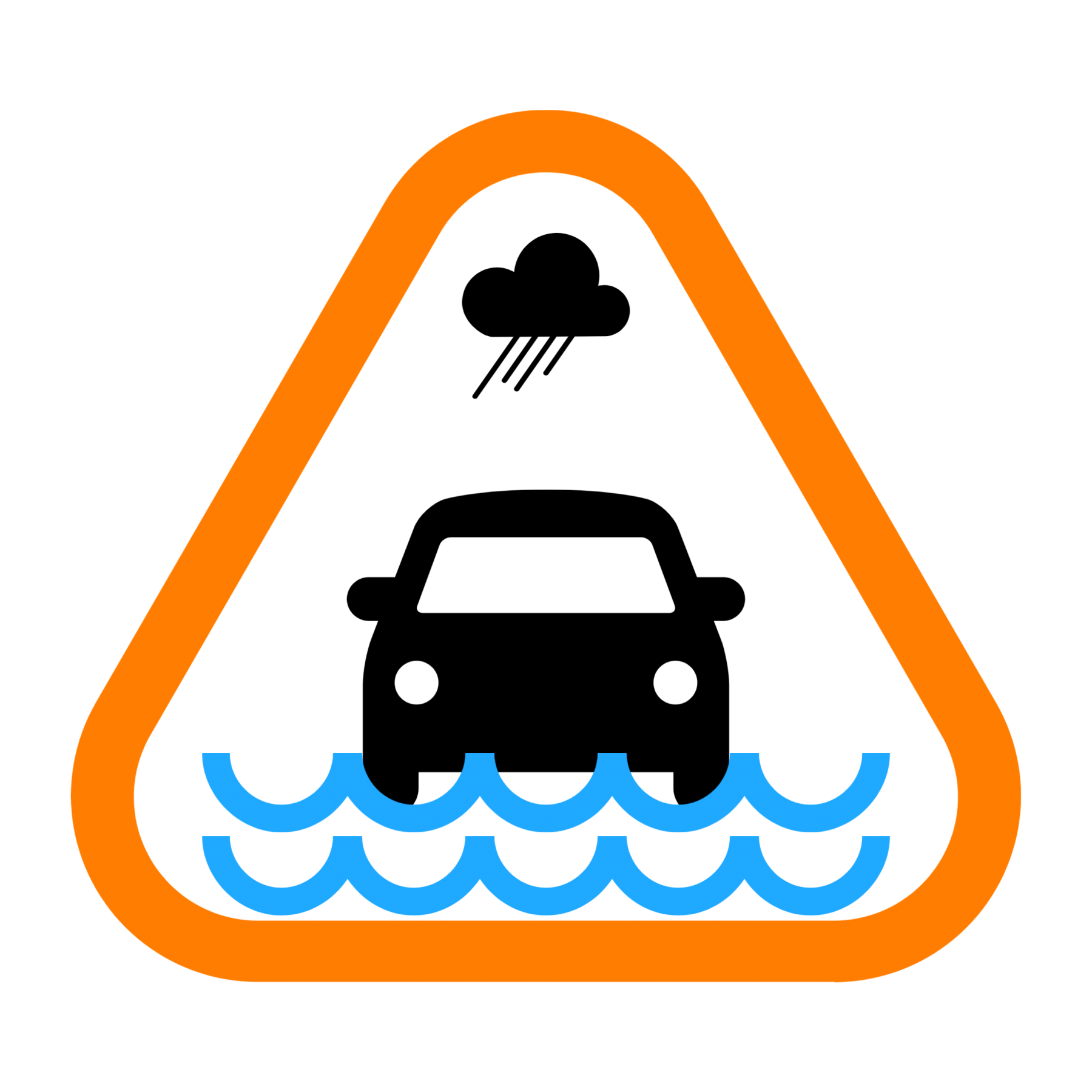 Do not walk, swim, or drive in floodwaters
Avoid unnecessary travel
Seek alternate routes
Move to higher ground if in flash flood areas
Level 4 – Flooding extensive / Severe Flooding
 Follow Emergency Management directives
Evacuations possible